Traveling to Public Lands in Times of COVID-19
6 Comments
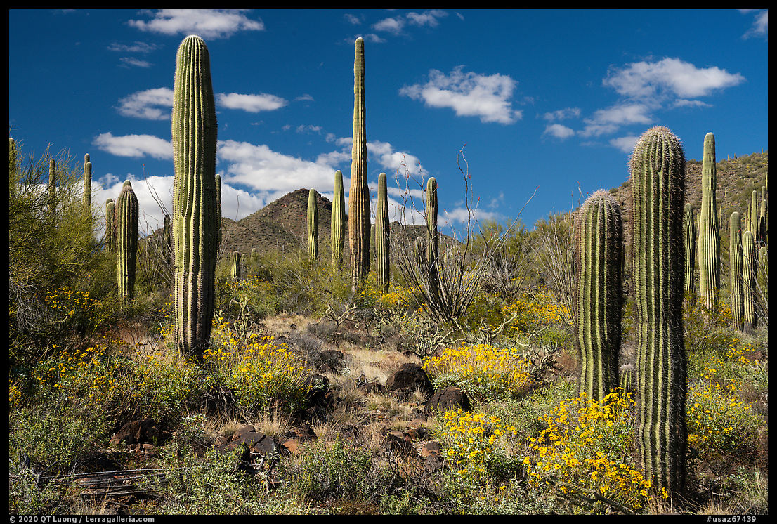
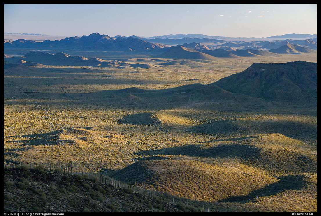
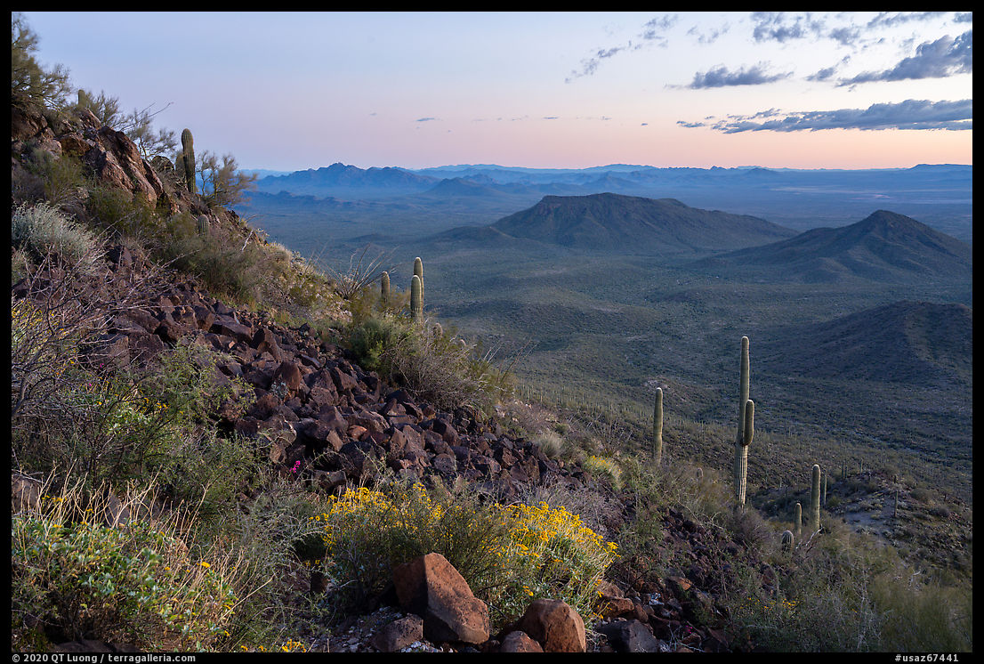
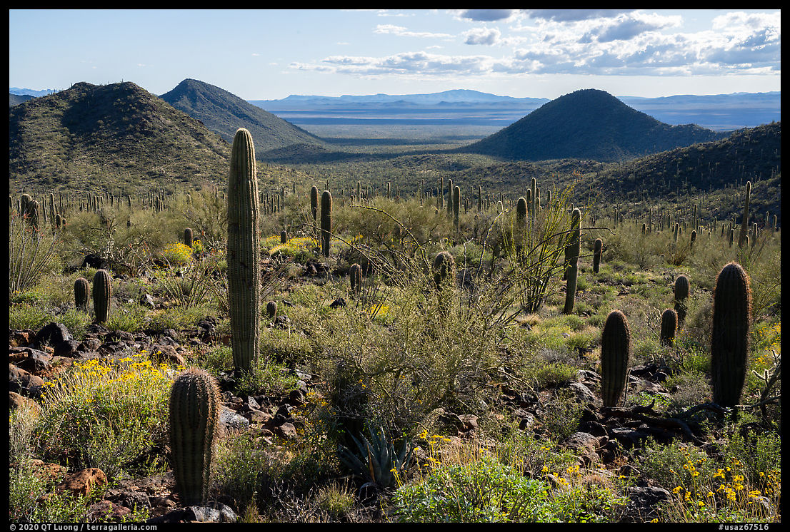
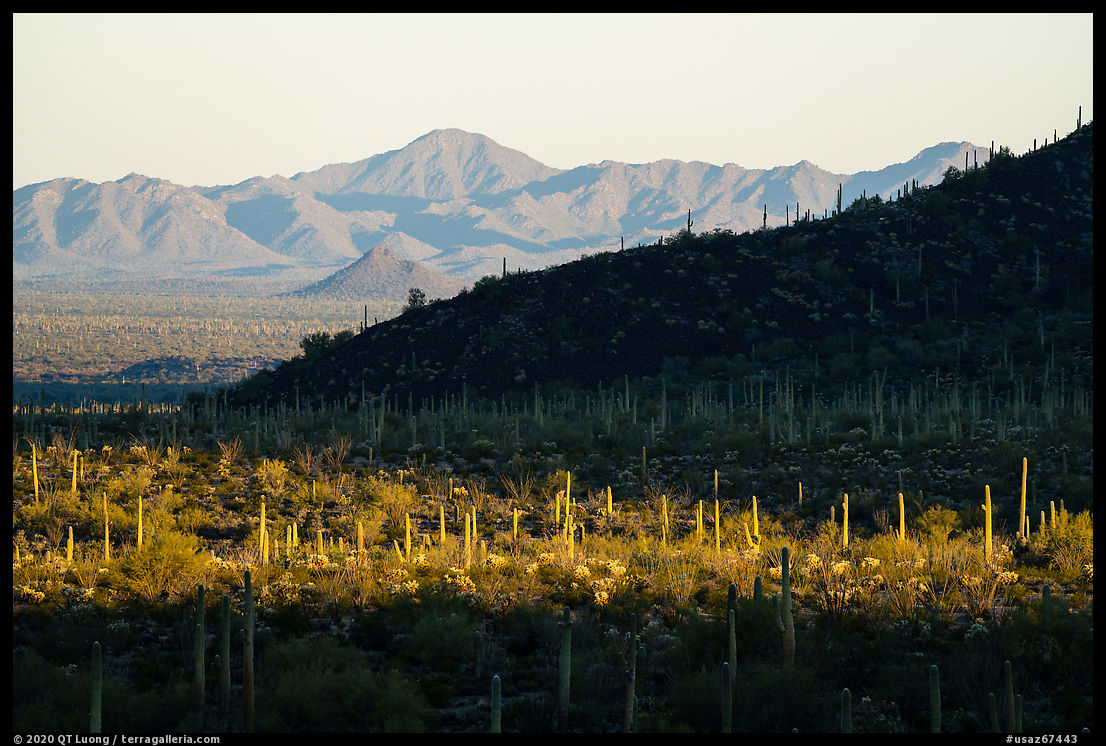
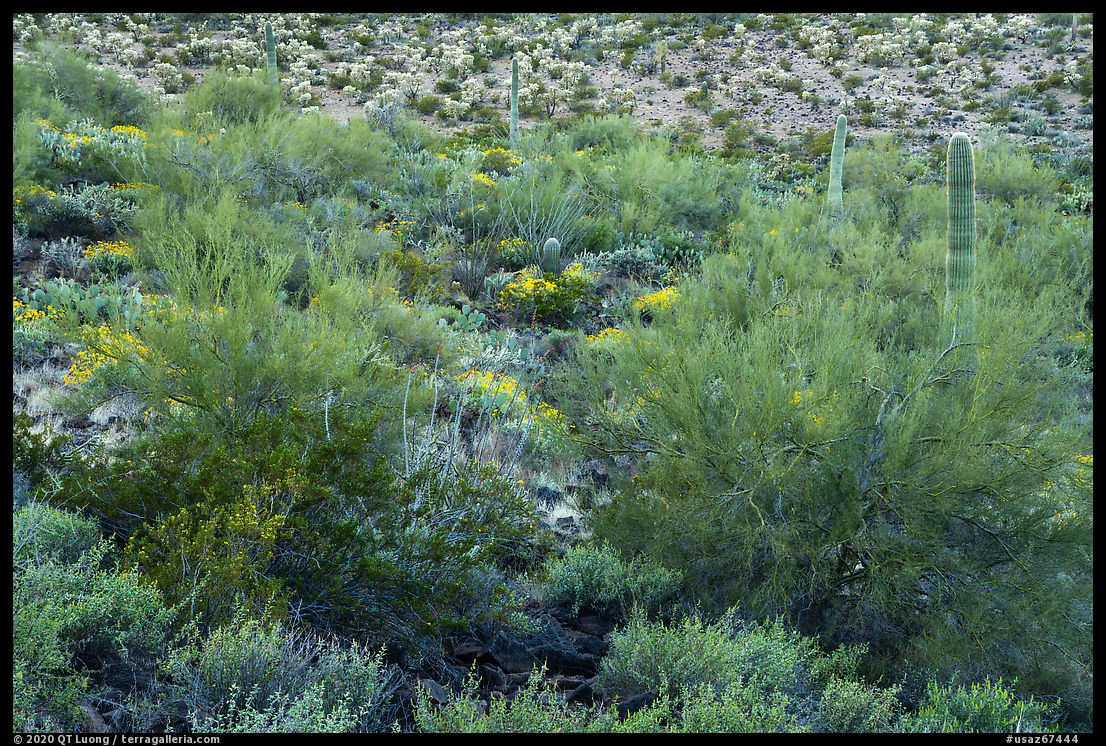
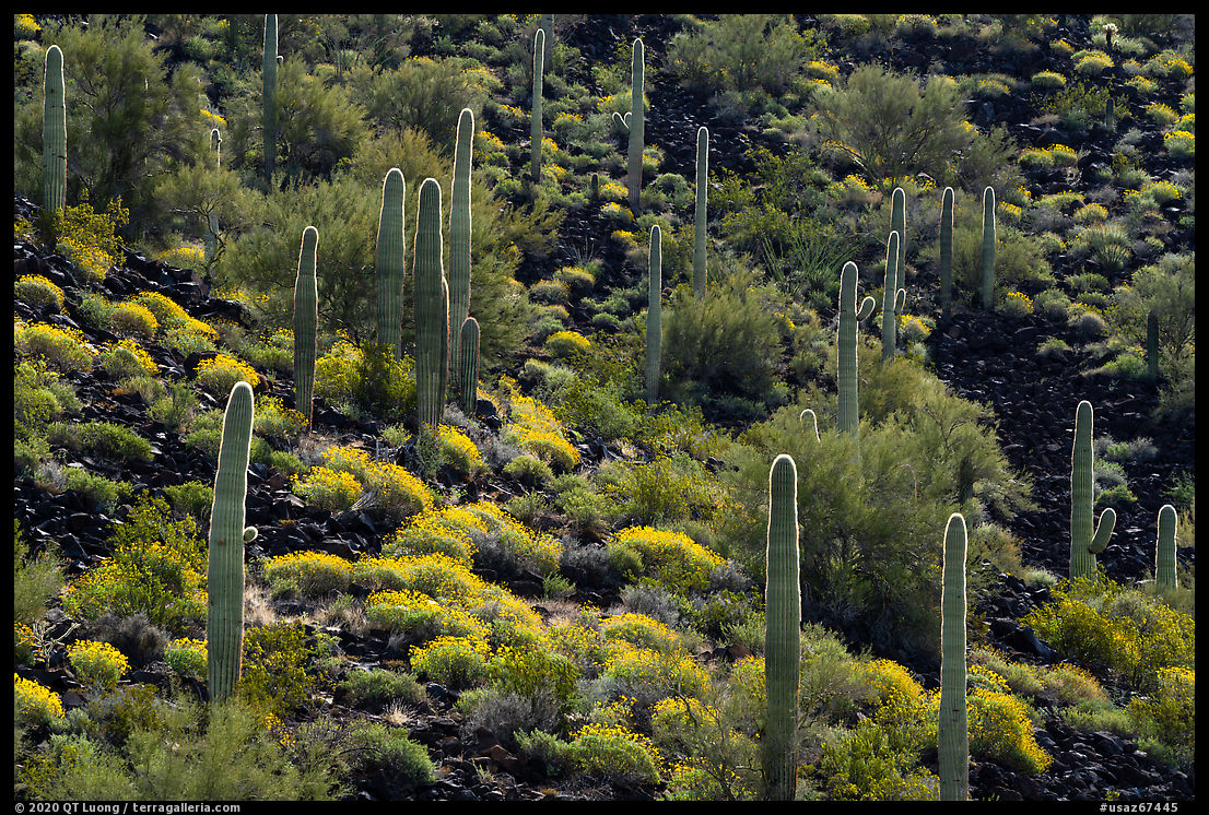
Summary: An account of a road trip in the desert at the start of the COVID-19 outbreak, and some thoughts on public lands and national parks as places for self-isolation. All images are from the Table Top Wilderness I visited during this trip.
The Plan
I had planned the Sonoran Desert trip for a year. In March 2019, I had just returned from the new Indiana Dunes National Park and was scrambling to try to update Treasured Lands. By the time I was ready to go, I had prioritized destinations further north, after which the temperatures in the desert had already risen too much. More importantly, the springtime desert bloom, which takes place in the Sonoran during the month of March, was over. Since the desert is such an arid place most of the year, the presence of those blooms enlivens the landscape considerably and I felt it essential to showcase the land at its most beautiful.Before the event was postponed for a year, I was going to Washington, DC at the beginning of April to receive a conservation award, so a mid-March trip would have to be short to reduce my time away from the family. A direct flight to Phoenix from San Jose is a quick hour and half, as opposed to an eleven hour drive. In addition, renting a car at the destination made sense because this time I needed a vehicle with better off-road capabilities than my Prius. The BLM access map for the Table Top Mountains features a prominent box with “High Clearance Four-Wheel-Drive Vehicle Required”. I looked for independent confirmation of this fact, and sure enough, on alltrails.com, a user commented
When the sign says “high vehicle ground clearance required”, believe it! … Depending on the recent weather you will need a 4×4 and even a vehicle with a lift.Flying raises eyebrows in some circles concerned with carbon footprint, but for the solo traveler, it is actually better than driving with anything but the highest efficiency vehicle. According to this calculator, a flight from San Jose to Phoenix results in 0.214 tons (428 lbs) of CO2, whereas driving a 25 MPG car (a reasonably efficient SUV) for the 700 road miles results in emissions of 700 lbs of CO2.
Less time and less impact seemed to make the choice easy, but by the start of my trip, March 10, COVID-19 (JHU global visualizer, USA numbers, advice from Wuhan CDC) was becoming a growing concern, with more than a thousand U.S. cases confirmed, although shelter-in-place imperatives were still not well understood at that point and any directives were still a week away. I opted to rent a compact SUV in San Jose. Concerned for the safety of a Uber ride, my wife dropped me at the car rental agency. I wiped all the contact surfaces and used generous amounts of spray alcohol. Besides the usual camping and photography gear, I loaded the car with ten gallon-size jugs of water and enough food for ten days, as I usually do so that I can devote all of my time to photography without the distraction of having to look for meals or refilling water bottles. For mutual protection, this would alleviate the need for any interactions with the local communities.
The Trip
I stopped only at interstate-side gas stations. I would pump gas normally, but took care not to touch my face nor clothing. I would then walk into the gas station. A few times at the beginning of my trip, I ordered a sandwich. It was not necessary, but I liked a bit of fresh food for a change. At the end of the trip, I contented myself with the food I had brought. My last stop would be the restroom. After washing my hands thoroughly, I’d get a paper towel, and use it to grab any handle I needed to pull on my way to the car, before disposing of it. Once seated in the car, as an added precaution, I’d wash my hands again with a Purell dispenser bottle. Along the Arizona highways, I did not notice any significant differences in travel. At the only “trail” of the obscure Agua Fria National Monument, a large group of adults and children were tightly clustered.
My main objective for the trip was to photograph Sonoran Desert National Monument and Ironwood Forest National Monument. Both are ran by the BLM and quite undeveloped, with dispersed camping the norm. Dispersed camping refers to camping on public lands away from developed recreation facilities. Unless an area is explicitly posted as “closed to camping”, it is open. In my case, camping consisted of just pulling out of the road and sleeping in the car, but for those who are setting up a tent, it is preferable to use an existing site in order to avoid creating new impact. The few campgrounds where I stayed were remote enough that I was surprised to even see other cars midweek, although there were never more than two of them. In one case, I went further on the road rather than parking close to someone else.
When I arrived at the Silverbell Group Camp, since there was not even a picnic table and nobody else was present, I wasn’t sure it was indeed a campsite until I saw a row of portable toilets. After dark, a truck pulled in and parked closer than I liked. Well before dawn, I was awakened and worried by loud noises, but managed to go back to sleep. After stumbling out of my car at dawn, still half-asleep, I made a beeline for the toilets. It took me a while to realize they were gone. I went back to the car and grabbed my shovel. For car camping, no need to use a fancy backpacking-style trowel. A full-size shovel lets you dig a deep hole to bury the solid waste much quicker. I never liked the idea of burying toilet paper. In the distant past, I would burn it, but now I find it cleaning, safer and quicker just to throw it in a garbage bag. During my entire time on public lands, I used a bathroom only once, after which I realized it was better for everybody not to do so. It’s the desert, there were no woods there, but after heading out toward the bushes, I didn’t have to worry about touching contaminated surfaces, nor any worker would have to clean a facility and eventually remove the waste that instead will help fertilize the ground. Likewise, when you pee in the soil, micro-organisms will break up the organic matter. Just avoid doing so on plants or rocks.
There were no visitor centers or rangers around, no brochures nor guidebooks, so I had to do my research and figure out where to go. Sonoran Desert National Monument has only four established trails in its 776 square miles. On two different days, I did not see a single hiker on the Margie Cove Trail, whereas on the Table Top Trail, I crossed paths just with one middle-aged couple. Most of the time, I would hike off-trail. Ironwood Forest National Monument doesn’t even have officially designated trails anyways. I felt that I self-isolated effectively during my time in the Sonoran Desert, with several entire days when I didn’t even come within sight of another person. The outdoors can be a very safe area to avoid the spread of the virus. In hindsight, the timing of my trip was marginal, but after the peak of crisis is over, the mode of travel I described can help keep all of us safer in a new world. With a bit of preparation, it is not difficult for anyone to execute such a trip. Until a vaccine is developed and widely distributed, that may be how we have to travel to public lands.
The Coronavirus
Yet, I cannot recommend travel to public lands as a way to self-isolate. Our public understanding of COVID-19 has evolved dramatically in a period of barely more than a week. Now stay at home, or at least local to one’s county, has been widely embraced, but the much-praised New York governor initially resisted it after California put in place a shelter-at-home order on March 19. When it happened, I headed home, pulling in my driveway that evening. Since then, I’ve been to the grocery store only once, with a mask and much caution.
I travel in an unusually spartan and self-contained manner that some reasonable people could call lonely – or loony. But travelers who do not do the same will have contacts in the local communities where they will use the amenities. This puts those often older communities at unacceptable risk of contamination, and since those communities are small and remote, their resources are limited compared to urban areas. Even trail associations have recommended that long-distances hikes on the Appalachian Trail, Continental Divide Trail, and Pacific Crest Trail be postponed because of the risk to communities during resupplies. It is not just about the obvious lack of doctors, hospital beds or ICU units, but also mere non-perishable groceries that even a self-prepared photographer had to shop for. If in San Jose I could not buy pasta (other than lasagna) at my usual large chain grocery store, how is a rural small store supposed to stay stocked? Open spaces are important because people need to get out of their house for recreation. Generally, it is much easier to maintain adequate social distancing in open spaces than it is in urban spaces or indoors. However, accessing the more remote areas could require extended travel and contacts with remote communities, and this has to be strictly avoided. In the less remote areas like local parks, there might still be enough visitation that one has to be very careful about distancing.
Unlike the largely undeveloped BLM lands, the national parks are attractive to many because they are remarkably easy to access for such pristine areas. One could say that the NPS has made wildlands suitable for mass tourism. This tends to draw in different types of visitors, who in average do not have the capacity for self-sufficiency required in order not to increase risks to the local communities and park workers. The mayor of Estes Park, a city who exists as the gateway to Rocky Mountain National Park, has asked the Secretary of the Interior to close the park. In addition, the infrastructure in national parks is designed to funnel visitors to limited spaces such as visitor centers, overlooks, and trails. It is a challenge to stay 6 feet away from others on a crowded trail that is 3 feet wide, and some places do not allow off-trail hiking. One could argue that Death Valley National Park, as the largest national park in the lower 48, offers plenty of opportunity for distancing, and hiking cross-country there doesn’t result in adverse environmental impact. But for each person who parks their car at random along the road and heads out into the desert, how many will congregate at Zabriskie Point or use the facilities in Furnace Creek? Visiting Death Valley National Park safely means traveling as I did in the desert national monuments. Skilled wilderness travelers do not need national park infrastructure and can instead go to the national monuments and other public lands that offer plenty of underappreciated wonders.
On my way home, I made quick stops at three small NPS sites. Arriving at park opening in Tonto National Monument, I was disappointed to see all the trails closed, especially since during the hour I spent on the parking lot to photograph a distant cliff dwelling with a telephoto lens, I noticed only a single other car showing up. The rangers said that later in the day, I would not be alone, and indeed I understood their wisdom when I went to Montezuma Castle National Monument, which was fully open except for the visitor center. The trail was worryingly packed, and this observation confirmed my fears. On the other hand, Tuzigoot National Monument was fully closed at the gate. You would think that it means each park superintendent has full authority to act, but no. The superintendent of Grand Canyon National Park, NPS regional director, and NPS directors were all overruled by the Secretary of the Interior when requesting a closure. The first reaction of the Secretary to the outbreak has been to wave the entrance fees in the NPS system, as announced in person by the President, repeating – in worse because the NPS personnel, as well as visitors is at risk – the mistake made when the administration kept the national parks open during the government shutdown. Although my work aims to encourage people to visit their national parks, it saddens me to have to join the call for a closure and postponement of trips.


Hi QT
Your pictures are worth 1000 words and lots of money!
Thanks for the valuable info, as always.
Jeff
PS If we all stay sheltered I hope to be back out by June 1st.
Yes, currently shelter is extended to May 3 in Santa Clara County, but I expect it to be in effect for the month of May as well.
Thanks for the update with good advice. Since 1975 I have camped in desert quite a bit always avoiding people and popular locations.
But when young I made a bad decision to not carry a camera and remember each place. I remember and wish I had carried a camera!
Thank you QT. Informative and thought provoking.
Like 9/11, this global pandemic has inexorably altered our lives and planet. As you point out, in ways large and small, we will need to be even more vigilant about protecting each other and by extension our public lands.
Will probably change things even more, but I think unlike 9/11, some positive progress can come out of it.
Lloyd Chambers (the one you call “well-prepared photographer”) is quite the selfish character. In the blog post you link to, he worries about being infected by his grocery shopping, not about bringing the virus from the San Francisco Bay Area, a known infection center, to Lone Pine. Then he brags about this self-isolation in the Alabama Hills that he plans to continue for weeks while his own county is under shelter at home, and while posting a picture of a local sign saying in bold characters “Visitors are advised to return home and stay at home”. And don’t get me started about his calling the virus the “Wuhan China Coronavirus” and smart-ass comment that it is not racist…