terragalleria.com · the photography of QT Luong
Home / Asia / Vietnam / Northeast Vietnam / Lang Son to Cao Bang
[ Color | Black & White ]
New book: Our National Monuments - America's Hidden Gems
    How to buy prints or license images
Previous pictures: Lang Son photos

Lang Son to Cao Bang

Pictures by QT Luong

photos Next pictures: Cao Bang area
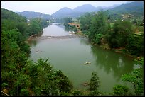
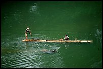
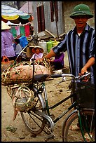
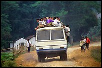
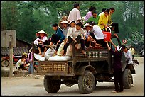
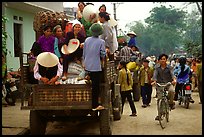
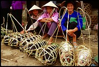
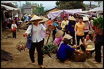
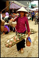
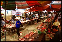
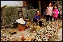
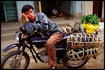
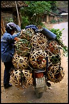
The road between Lang Son and Cao Bang crosses for 135km (4h) a beautiful landscape of mountains, alternating between the Ky Cung river valley and steep passes which provide extensive views on the surrounding countryside (in good weather). This is a very rural area, where one can observe everyday traditional life.

[CLICK on any picture to see a larger image and details, to add to selection, to order, and to download wallpaper.]

Ky Cung River Valley. Northest Vietnam ( color) Crossing the Ky Cung  River on a narrow dugout boat. Northest Vietnam ( color) Man with a newly bought pig loaded on his bicycle, That Khe market. Northest Vietnam ( color) Passengers sitting on top of an overloaded bus. Northest Vietnam ( color) Riding in the back of an overloaded truck. Northest Vietnam ( color) Riding in the back of an overloaded truck. Northest Vietnam ( color) Live pigs all packed for sale, That Khe market. Northest Vietnam ( color) Woman carrying two live pigs, That Khe market. Northest Vietnam ( color) Woman carrying two live pigs, That Khe market. Northest Vietnam ( color) Meat for sale, That Khe market. Northest Vietnam ( color) Live poultry for sale, That Khe market. Northest Vietnam ( color) Man on a Russian-made Minsk loaded with live pigs. Northest Vietnam ( color) Motorcyclist loaded with live poultry. Northest Vietnam ( color)
There are 13 color pictures of Lang Son to Cao Bang on this page