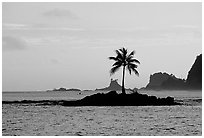
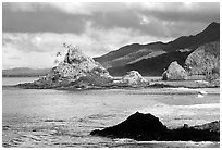
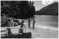
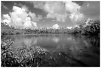
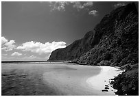
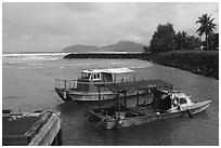
The Samoan Islands are exactly in the center of Polynesia, the complex of Pacific islands lying in a triangle delimited by Hawaii, New Zealand, and Easter Island. They constitute a homogeneous nation politically divided between an independent state (Independent Samoa), and a territory administered by the US (American Samoa). Both used to be Polynesia at its purest, most traditional and hospitable, governed by fa'a Samoa (the Samoan way), a very communal and relaxed lifestyle far from outside economic and industrial pressures. However, starting from the sixties, modern development in American Samoa has placed the society at the frontier of two worlds. Part of what makes American Samoa interesting is the contrast between the modern ways, which can be seen mostly in the capital Pago Pago, and the traditional ways, which are still prevalent elsewhere, in particular in the remote Manua Islands. Geographically, the islands are located close to the equator, and have a wet and hot climate year-round, although during the austral winter, when heat and humidity are slightly lower. A luxuriant vegetation covers the rugged slopes of volcanic peaks, yielding some of the most dramatic scenery in the Pacific.
I spent two weeks in July 2002, and again in May/June 2024 exploring the three main islands of American Samoa. A portion of the land on each of the three main islands has been leased by the U.S. for a National Park which comprises native forests, pristine beaches, and reefs, and includes, as expected, some of the most spectacular scenery on the islands. The images of American Samoa in this gallery cover the features outside of the National Park. For a complement to this page, see the pictures of the National Park of American Samoa.
